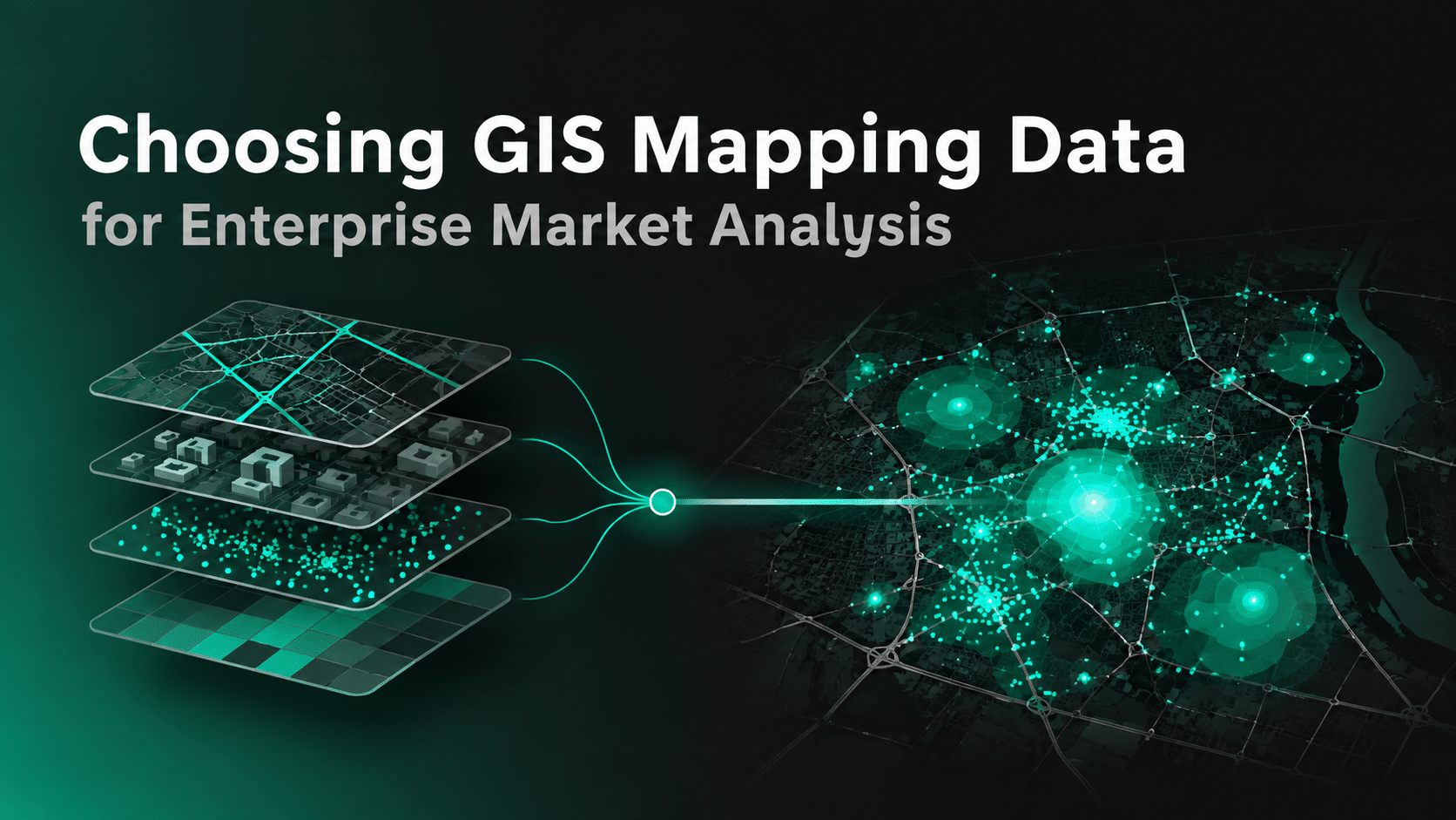
GIS mapping can show where stores, competitors, customers, transport corridors, and market boundaries exist.
But the quality of enterprise market analysis depends less on the map itself and more on the data underneath it.
A GIS platform can visualize almost any spatial dataset. The harder question is whether those datasets are current, detailed, interoperable, and useful enough to support decisions about markets, competition, customers, demand, and resource allocation.
For enterprise teams, choosing GIS mapping data should therefore start with the business decision, not the map layer.
Key Takeaway
- GIS mapping quality depends on the data behind the map, not just the GIS platform used to visualize it.
- Enterprise teams should choose GIS data based on the market decision they need to make.
- Strong market analysis often combines geographic, POI, People, Audience, Mobility, Visit, Economic, Market, and Events data.
- Geographic coverage should be evaluated before attribute depth because a rich dataset is not useful if it misses important markets.
- Data granularity should match the decision, from national planning to market, neighborhood, or POI-level analysis.
- Refresh frequency should reflect how quickly each signal changes rather than using the same standard for every dataset.
- Mobility and visit data can add behavioral context that static geographic and POI layers cannot provide alone.
- Interoperability matters because GIS data often needs to move across GIS platforms, warehouses, BI tools, models, and internal applications.
- Historical depth helps distinguish temporary market conditions from longer-term trends.
- GIS data should be validated against a real business decision before purchase to prove that it adds signal, changes the decision, and improves the outcome.
Start With the Market Decision
Different market questions require different GIS data.
A commercial strategy team evaluating regional opportunity needs a different data stack from a media team comparing audience concentration or a supply chain team mapping business activity.
Before selecting data, define the decision.
Common enterprise market-analysis questions include:
- Which markets have the strongest underlying demand?
- Where are target customer groups concentrated?
- How dense is the competitive landscape?
- Which areas are gaining or losing activity?
- How do neighboring markets differ?
- Where are customers actually moving and spending time?
- Which regions deserve more commercial investment?
This matters because no single GIS dataset can answer all of these questions.
A base map may show geography. It does not automatically explain how that geography behaves.
Build GIS Analysis From Multiple Data Layers

Enterprise GIS mapping becomes more useful when static geography is combined with market, people, place, and behavioral context.
A practical data stack can include:
| GIS data layer | What it helps explain |
| Geographic boundaries | Where markets, ZIP codes, counties, or territories begin and end |
| Places / POIs | What businesses, venues, competitors, and destinations exist |
| People Data | Who lives, works, or is concentrated in an area |
| Audience Data | Which consumer groups are relevant to each market |
| Mobility Data | How people move between locations and markets |
| Visit Data | Which places actually attract activity |
| Market Data | Where category or brand interest is changing |
| Economic Data | Local income, employment, business, or economic conditions |
| Events Data | Short-term activity that can change demand or movement |
The value comes from combining these layers.
A POI layer may show that a market has many competitors.
Mobility and visit data can show whether those locations are actually attracting activity.
People and audience data can then help explain whether the market contains the customer groups the business wants to reach.
That is much more useful than treating each layer independently.
Check Geographic Coverage Before Attribute Depth
Enterprise teams often start vendor evaluation by comparing the number of attributes available.
Coverage should come first.
A dataset with hundreds of fields is less useful if it is missing the countries, cities, neighborhoods, or locations needed for the analysis.
Ask:
- Which countries and regions are covered?
- Is coverage consistent across markets?
- Does the provider cover major cities only or smaller markets as well?
- Are rural and suburban areas represented?
- Are the same fields available across all geographies?
- Are historical records available for the markets you need?
Coverage should be evaluated against the enterprise use case, not simply the largest headline number.
Match Granularity to the Decision
Country-level data will not support neighborhood-level decisions.
Market-level data will not necessarily support individual location analysis.
The right granularity depends on what the business needs to compare.
Examples:
National planning
Country, state, region
Market planning
Metro, city, county
Local market analysis
ZIP, neighborhood, trade area
Location intelligence
POI, parcel, coordinate, H3 cell
This is why GIS teams should ask exactly how the dataset is spatially represented.
Government sources such as the U.S. Census Bureau’s TIGER/Line Shapefiles provide geographic boundaries and entity codes that can be linked with demographic datasets.
Commercial market analysis may require additional layers at finer or more behavioral levels.
Evaluate Freshness by Data Type
Not every GIS dataset needs to refresh daily.
But refresh cadence should match how quickly the underlying real world changes.
For example:
Administrative boundaries
Change relatively slowly.
Demographics
May update annually or when new source releases become available.
POIs and businesses
Need more frequent updates because stores open, close, move, and rebrand.
Mobility and visits
Can change daily.
Events
May require near-term or continuously refreshed coverage.
A useful evaluation question is:
How old can this signal become before it changes the decision?
That is a better freshness test than simply asking for the fastest possible refresh.
Look Beyond Static Geography
Many enterprise GIS datasets are good at answering:
What exists here?
Market analysis often also needs:
What is happening here?
That distinction matters.
A static POI layer can show stores, offices, restaurants, hotels, and venues.
But it cannot automatically show:
- which locations attract more visitors
- where people travel from
- how movement changes by time or day
- whether one market is gaining activity
- whether two similar markets behave differently
This is where mobility and visit data become important.
For enterprise market analysis, behavior often provides the missing layer between geography and demand.
Check Whether People Data Can Explain the Market
Population counts alone do not fully describe a market.
Two areas with similar population sizes may differ in:
- income
- household composition
- lifestyle
- interests
- consumer behavior
- audience concentration
People Data can add that context.
This becomes useful when GIS mapping needs to answer questions such as:
- Where are high-value customer groups concentrated?
- Which areas fit a target customer profile?
- How does audience composition differ across territories?
- Why do two similar markets perform differently?
The important point is not to add every available attribute.
Use only the characteristics that are relevant to the decision.
Evaluate Data Consistency and Interoperability
Enterprise GIS analysis rarely happens in one system.
Data may need to flow into:
- GIS platforms
- cloud warehouses
- BI tools
- SQL environments
- forecasting models
- AI systems
- internal applications
That makes interoperability important.
The Open Geospatial Consortium develops open standards intended to make geospatial information easier to exchange and integrate across systems.
When evaluating GIS mapping data, ask:
- Which coordinate reference systems are supported?
- Are schemas documented?
- Are identifiers stable?
- Can different datasets be joined consistently?
- Are APIs available?
- Can data be delivered in formats such as CSV, JSON, or spatial formats?
- Can it integrate with your warehouse or GIS environment?
A technically strong dataset can still create operational friction if every analysis requires extensive cleaning or schema reconstruction.
Test Historical Depth
Current conditions show what a market looks like now.
Historical data helps explain whether those conditions are normal.
This matters for:
- trend analysis
- seasonality
- market momentum
- anomaly detection
- before-and-after comparisons
- model training
Suppose Market A currently has higher visitation than Market B.
Without history, that may look like a clear advantage.
With historical data, you may discover that Market A is declining while Market B has been growing consistently.
The decision can change.
Historical depth should therefore be part of vendor evaluation, particularly for predictive or longitudinal market analysis.
Make Sure the Data Can Be Validated
Do not evaluate GIS mapping data only through sample maps.
Test whether it improves a real business question.
For example:
Baseline analysis
Population + demographics + competitor locations
Enriched analysis
Population + demographics + POIs + People + Mobility + Visit Data
Then ask:
Signal lift
Did the additional data reveal market differences the baseline missed?
Decision lift
Did it change the market ranking, investment priority, territory strategy, or commercial plan?
Business lift
Did that changed decision improve a measurable outcome?
This prevents teams from buying data simply because the map looks more detailed.
The additional layer should change the analysis in a meaningful way.
What to Ask a GIS Mapping Data Provider
Before selecting a provider, enterprise teams should ask:
- What geographic coverage is available?
- At what spatial level is the data delivered?
- How frequently does each dataset refresh?
- How much historical data is available?
- How are POIs validated and updated?
- How are mobility and visit signals aggregated?
- Which People and Audience attributes are available?
- Can datasets be joined through consistent identifiers?
- Which delivery methods are supported?
- How are privacy and permitted use handled?
- Can the provider supply samples for validation?
- Can the data be tested against an existing market decision before purchase?
The goal is to understand not only what data exists, but whether it fits the organization’s existing analytical stack and decision process.
How Factori Supports GIS-Based Market Analysis
Factori provides real-world datasets that can be used inside GIS, BI, analytics, AI, and data-science workflows.
These datasets include Mobility, Places and POIs, Visit Data, People, Audiences, Market, Economic, Business, Events, and Geo data. Together, they can help market research and planning teams add movement, audience, commercial, economic, and competitive context to spatial analysis.
Factori does not replace the GIS platform. It adds the real-world data layer that helps teams understand how markets actually behave.
Conclusion
Choosing GIS mapping data for enterprise market analysis should start with the business decision rather than the number of available map layers.
Strong GIS analysis combines geography with the data needed to explain what exists, who is present, how people move, which places attract activity, and how markets are changing.
The best dataset is not necessarily the one with the most attributes.
It is the one that adds enough new information to change a market decision.
FAQs
What data is needed for GIS mapping?
GIS mapping can use geographic boundaries, POIs, demographic data, People Data, mobility, visits, audience attributes, economic indicators, market signals, and events. The right combination depends on the business question.
How should enterprises evaluate GIS mapping data?
Enterprise teams should assess geographic coverage, spatial granularity, refresh frequency, historical depth, attribute completeness, interoperability, privacy, delivery options, and whether the data improves a real business decision.
What is the difference between GIS software and GIS data?
GIS software provides the tools used to visualize, analyze, and manage spatial information. GIS data provides the geographic, demographic, behavioral, business, or market information being analyzed inside those tools.
Why add mobility and visit data to GIS analysis?
Static geographic data shows what exists in an area. Mobility and visit data can add behavioral context by showing how people move, which places attract activity, and how those patterns change over time.