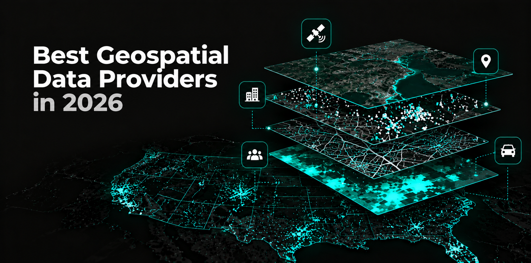
Geospatial data providers supply location-based datasets that help organizations analyze places, movement, populations, properties, and transportation networks. These datasets support retail expansion, site selection, logistics, advertising, real estate investment, and location intelligence applications.
However, not every provider supplies the same type of geospatial data. Some specialize in Points of Interest (POI) Data, while others focus on Mobility Data, property boundaries, road networks, or demographic information. Choosing the wrong provider can result in incomplete coverage, inconsistent location records, and data that cannot support the intended analysis.
The best geospatial data provider depends on the datasets required, geographic coverage, accuracy, refresh frequency, licensing, and how easily the data integrates into existing systems.
Key Takeaway
- Geospatial data providers differ across POI Data, Mobility Data, demographic data, property data, and transportation networks.
- Factori provides multiple real-world datasets, including Places Data, Mobility Data, People Data, and Audience Data, for location intelligence and analytics.
- SafeGraph and Foursquare are relevant for POI Data, while Unacast and Veraset focus more heavily on mobility and location signals.
- Precisely supports enterprise location enrichment, Regrid specializes in parcel data, and HERE and TomTom provide mapping and transportation datasets.
- Buyers should validate geographic coverage, positional accuracy, data freshness, spatial attributes, delivery methods, and licensing before selecting a provider.
Geospatial Data Providers at a Glance
The following providers represent different geospatial data categories rather than a ranking based on dataset size.
| Provider | Best suited for | Primary data | Data access | Best fit if you need | Less ideal if you need |
| Factori | Location intelligence, AdTech, retail, and data teams | Places Data, Mobility Data, People Data, Audience Data | APIs, cloud, Platform, MCP | Multiple real-world datasets for enrichment and analytics | Turn-by-turn navigation |
| SafeGraph | POI and location data teams | POI Data, place attributes, geometry | Bulk datasets, cloud delivery | Business locations and place-level analysis | Raw mobility trajectories |
| Foursquare | Location intelligence and AdTech | POI Data, location intelligence | APIs, data delivery | Global place intelligence and enrichment | Property ownership records |
| Unacast | Mobility analytics and location intelligence | Mobility Data, visitation insights | Data delivery, enterprise solutions | Movement patterns and location analysis | Road routing infrastructure |
| Veraset | Data science and mobility analytics | Mobility Data, location signals | Bulk data, cloud delivery | Mobility modeling and custom analysis | Complete POI enrichment alone |
| Precisely | Enterprise data enrichment and GIS | Address Data, boundaries, location intelligence | APIs, datasets, integrations | Geocoding and enterprise location enrichment | Specialized raw mobility feeds |
| Regrid | Property and real estate analytics | Parcel Data, property boundaries | APIs, bulk data | Land parcels and property geography | Consumer movement analysis |
| HERE Technologies | Logistics, mobility, and navigation | Road networks, maps, traffic, POI Data | APIs, SDKs, datasets | Routing and transportation intelligence | Consumer audience enrichment |
| TomTom | Navigation and transportation analytics | Maps, traffic, routing, POI Data | APIs, SDKs, data licensing | Road networks and traffic analysis | Household-level consumer intelligence |
1. Factori
Best for: Teams that need multiple real-world datasets for location intelligence and enrichment
Factori is a geospatial data provider for organizations that need to analyze locations alongside consumer characteristics, mobility patterns, and broader market conditions. Its Places Data covers 200M+ POIs across 229 countries and regions, with 6,000+ categories and 50+ attributes.
Beyond POI Data, Factori provides Mobility Data, People Data, Audience Data, Business Data, Economic Data, Events Data, Property Data, and Identity Data. These datasets can support trade area analysis, competitive intelligence, retail site selection, audience planning, and location-based enrichment.
Data is available through APIs, cloud delivery, the Factori Platform, and MCP-based workflows. This makes Factori relevant for teams building location intelligence products, analytical models, or internal applications that require several types of real-world data rather than a standalone mapping tool.
2. SafeGraph
Best for: POI Data and place-level location analysis
SafeGraph provides structured information about physical locations, including business names, categories, addresses, geographic coordinates, and place attributes. Its datasets are relevant for organizations that need consistent POI records for location-based analysis.
SafeGraph can support retail network analysis, competitive mapping, site selection, and market research. Place geometry and standardized attributes help analysts compare locations across geographic markets.
Buyers should evaluate POI coverage, business status, category consistency, location accuracy, and refresh frequency, particularly when working with frequently changing retail or restaurant locations.
3. Foursquare
Best for: Global POI Data and location intelligence
Foursquare provides location intelligence capabilities, including global place information and geospatial data products. Its POI Data can help organizations identify businesses, categorize locations, and enrich existing location databases.
It is relevant for AdTech, mapping, retail analytics, and applications that require standardized place information across multiple markets. Foursquare’s location intelligence ecosystem also supports use cases beyond basic business listings.
Organizations should compare geographic coverage, category depth, attribute completeness, data access, and licensing requirements before integrating its datasets into production systems.
4. Unacast
Best for: Mobility Data and location-based behavioral analysis
Unacast focuses on location intelligence and mobility-related insights. Its offerings help organizations understand visitation patterns, geographic activity, and how movement varies across locations or markets.
This makes Unacast relevant for retail analysis, commercial real estate, competitive intelligence, and other applications where movement patterns provide additional context beyond static POI records.
Buyers should examine the underlying mobility methodology, geographic coverage, temporal granularity, sampling bias, and how visitation estimates are normalized. Observed location signals and modeled visit estimates should not be treated as interchangeable.
5. Veraset
Best for: Raw mobility signals and custom geospatial modeling
Veraset provides mobility and location-related datasets for organizations building their own analytical models. It is particularly relevant when data science teams need more flexibility over how location signals are processed and interpreted.
These datasets can support mobility research, visitation modeling, transportation analysis, and location intelligence applications. Unlike providers focused primarily on ready-to-use dashboards, Veraset is more relevant for teams with the technical resources to process mobility data.
Evaluation should focus on signal density, geographic coverage, device representation, temporal consistency, privacy safeguards, and permitted uses. Raw mobility records generally require substantial processing before they can support reliable business decisions.
6. Precisely
Best for: Enterprise geospatial enrichment and address intelligence
Precisely provides enterprise data integrity and location intelligence capabilities, including geocoding, address information, geographic boundaries, and location-based enrichment.
Its data is relevant for financial services, insurance, telecommunications, retail, and organizations that need standardized geographic information across enterprise systems. Address validation and geocoding can also help connect internal records to geographic locations.
Buyers should compare address coverage, geocoding precision, boundary definitions, update frequency, and compatibility with existing enterprise data infrastructure.
7. Regrid
Best for: Property parcels and land boundary data
Regrid specializes in parcel-level geographic information. Its datasets help organizations identify land parcels, analyze property boundaries, and connect locations with parcel-related attributes.
This makes Regrid relevant for real estate analysis, land-use research, infrastructure planning, property intelligence, and applications that require more precise land geography than a conventional POI database.
Organizations should validate parcel coverage, boundary accuracy, available ownership-related fields, jurisdictional differences, and update schedules. Parcel datasets may vary significantly in completeness between counties and states.
8. HERE Technologies
Best for: Road networks, routing, and transportation intelligence
HERE Technologies provides mapping and location data used in navigation, logistics, fleet management, and transportation applications. Its offerings include road networks, routing, traffic information, and place-related datasets.
HERE is particularly relevant when geospatial analysis depends on how vehicles move through transportation networks. Travel-time calculations, route optimization, and network accessibility require different underlying data than POI or demographic analysis.
Buyers should evaluate road coverage, traffic data availability, routing capabilities, licensing, and support for their intended geographic markets.
9. TomTom
Best for: Navigation, traffic, and mapping datasets
TomTom provides digital maps, traffic information, routing services, and POI Data for transportation and location-based applications. Its data supports navigation, logistics, mobility services, and travel-time analysis.
For organizations evaluating store accessibility or logistics networks, TomTom’s road and traffic information can complement other geospatial datasets. However, transportation data alone does not describe consumer demand or local market characteristics.
Buyers should compare map coverage, road network updates, traffic information, routing functionality, and API or dataset licensing requirements.
Which Type of Geospatial Data Do You Actually Need?
Geospatial data is not a single dataset. Each category answers a different business question, and many enterprise applications require several data types to work together.
| Data type | What it tells you | Common applications |
| POI Data | Where businesses and physical locations exist | Site selection, competitive mapping, geofencing |
| Mobility Data | How movement and visitation patterns change | Foot traffic analysis, trade areas, demand forecasting |
| Demographic and People Data | Characteristics of populations and consumer groups | Market sizing, audience analysis, expansion planning |
| Property and Parcel Data | Land boundaries, property characteristics, land use | Real estate investment, insurance, infrastructure planning |
| Road and Traffic Data | Road connectivity, travel times, traffic conditions | Logistics, routing, accessibility analysis |
| Environmental Data | Weather, climate exposure, and environmental conditions | Risk assessment, infrastructure, location planning |
For example, a retailer evaluating a new store location may start with POI Data to identify competitors and surrounding businesses. Mobility Data can help estimate activity patterns, while demographic information provides context about the surrounding population.
Combining these layers produces a more complete market assessment than relying on a single dataset. However, each layer must be evaluated independently because geographic coverage, measurement methods, and update schedules may differ.
How to Evaluate a Geospatial Data Provider
Choosing a provider requires more than comparing the number of records in its database. Enterprise buyers should test whether the data is accurate, consistent, and usable within their intended geographic markets and analytical workflows.
Geographic Coverage and Completeness
Global coverage does not guarantee equal data quality across countries or regions. A provider may have strong coverage in major metropolitan areas but limited information in smaller cities or rural markets.
Request representative samples from the locations that matter to your business. For POI Data, check missing businesses, duplicates, closed locations, and category coverage. For Mobility Data, assess whether the sample is sufficiently representative for the intended analysis.
Accuracy, Freshness, and Consistency
Geospatial datasets change at different rates. Businesses open and close, road networks evolve, and movement patterns shift throughout the year.
Ask how frequently records are updated and whether changes can be tracked over time. Stable location identifiers, consistent categories, and documented update processes make it easier to maintain analytical models without repeatedly rebuilding data pipelines.
Spatial Precision and Methodology
Different applications require different levels of geographic precision. A store centroid may be sufficient for market mapping, while building polygons may be necessary for accurate geofencing or visit attribution.
Mobility analysis introduces additional considerations, including sampling, geographic aggregation, temporal coverage, and modeled versus observed signals. Buyers should understand how metrics are calculated before comparing results across locations.
Data Access and Integration
A provider should fit the organization’s existing data infrastructure. APIs can support application-level queries, while bulk datasets and cloud delivery are often more suitable for large-scale enrichment and analytical processing.
Teams using GIS, BI, cloud warehouses, or AI systems should also validate schema consistency, supported formats, join keys, and licensing restrictions. Data that requires extensive manual cleaning can increase the total cost of ownership.
Licensing, Privacy, and Governance
Geospatial data licenses may restrict storage, redistribution, commercial applications, or derived products. These restrictions are particularly important for organizations building customer-facing data products.
For Mobility Data and People Data, review privacy safeguards, aggregation methods, consent requirements, and permitted uses. The ability to access a dataset does not automatically mean it can be used for every downstream application.
Geospatial Data Provider vs. GIS Platform
Geospatial data providers and GIS platforms serve different purposes, although some companies offer both.
A geospatial data provider supplies datasets such as business locations, movement patterns, parcels, boundaries, and transportation networks. A GIS platform provides the software environment for visualizing, analyzing, and managing spatial information.
Platforms such as Esri and CARTO help organizations work with geospatial data, while specialist providers supply many of the underlying datasets used in those workflows. Both platforms also offer access to data products, so the distinction is not absolute.
For organizations that already use GIS or cloud analytics infrastructure, the priority may be finding better underlying data rather than replacing existing software. Evaluating the data source separately helps buyers understand coverage, methodology, refresh frequency, and licensing.
Conclusion
The best geospatial data provider depends on the business problem and the type of spatial information required. SafeGraph and Foursquare are relevant for POI Data, Unacast and Veraset for mobility-related analysis, Regrid for parcels, and HERE and TomTom for transportation networks.
Factori is relevant when organizations need multiple real-world datasets across places, mobility, people, audiences, and markets. Precisely offers enterprise location enrichment and data integrity capabilities for organizations managing complex data environments.
Rather than selecting a provider based only on geographic reach or database size, buyers should validate data quality, methodology, integration requirements, and licensing against their actual use case.
FAQs
What Are the Best Geospatial Data Providers in 2026?
Geospatial data providers to evaluate include Factori, SafeGraph, Foursquare, Unacast, Veraset, Precisely, Regrid, HERE Technologies, and TomTom. Each specializes in different types of location data, so the best choice depends on the required datasets and application.
What Types of Data Do Geospatial Data Providers Offer?
Geospatial data providers offer POI Data, Mobility Data, demographic information, geographic boundaries, property parcels, road networks, traffic information, and environmental datasets. Some providers specialize in one category, while others offer multiple data layers.
Can Geospatial Data Be Accessed Through APIs?
Yes. Many geospatial data providers offer APIs, bulk datasets, cloud delivery, or platform integrations. The available delivery methods depend on the provider, dataset, licensing agreement, and intended application.
What Is the Difference Between GIS Software and Geospatial Data?
Geospatial data describes physical locations, geographic characteristics, and spatial relationships. GIS software provides tools to visualize, process, and analyze that information.
Organizations often use datasets from specialist providers within existing GIS platforms, cloud warehouses, or analytical applications.