Geo data connects business decisions to real-world location context. It helps teams understand where places, people, assets, and market activity exist, and how behavior changes across areas over time.
Geo data becomes more useful when combined with places, mobility, audience, and consumer signals. It helps businesses plan locations, target audiences, analyze markets, enrich data, and improve forecasts.
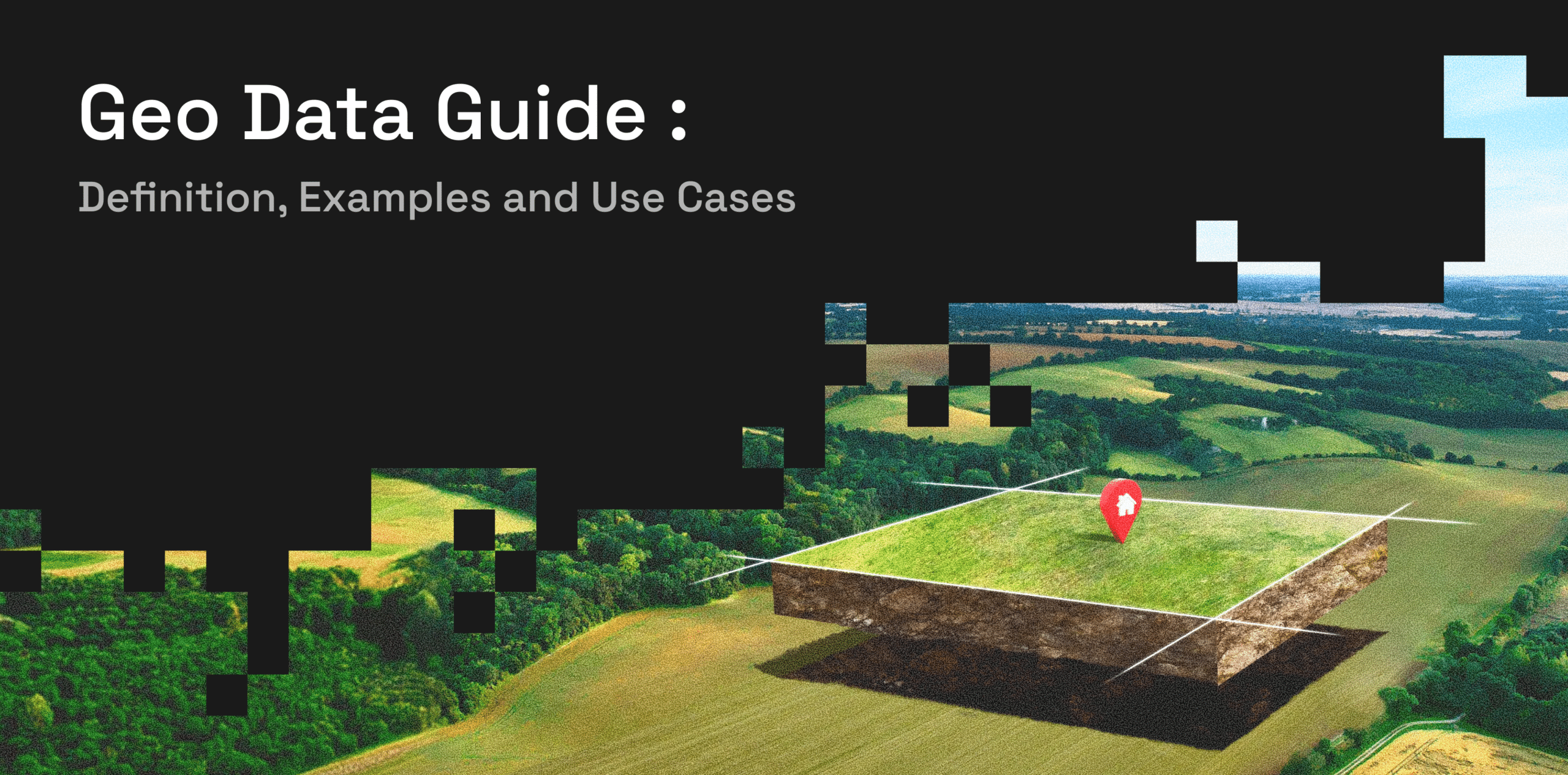
What Is Geo Data?
Geo data is information connected to a geographic location. It can include coordinates, addresses, boundaries, places, movement patterns, area-level attributes, and spatial relationships between locations.
At a basic level, geo data helps describe where something is. For example, a retail store may have an address, latitude and longitude, building footprint, nearby roads, and surrounding points of interest. But geo data can also explain what exists around that location, how active the area is, and how people move through nearby places over time.
Geo data can describe:
- Where something is located
- What exists in that location
- How locations relate to each other
- How activity changes across places and time
For example, a business evaluating a new store location may look at the store’s coordinates, nearby competitors, surrounding residential areas, visitor trends, and trade area context. Together, these signals provide a clearer view of whether the location matches real demand.
This makes geo data useful for teams that need to connect business decisions with real-world context.
Geo Data vs Location Data vs Geospatial Data
Geo data, location data, and geospatial data are closely related terms. In many business conversations, they are used interchangeably. However, there are some differences in how they are commonly understood.
| Term | What It Means | Example |
| Geo data | Broad data connected to geography or place | Coordinates, boundaries, place records, visit patterns |
| Location data | Data that identifies where something is | Store address, device location, branch location |
| Geospatial data | Data used for spatial analysis and geographic relationships | Polygons, maps, distance, catchment areas, spatial layers |
Location data usually focuses on identifying where something is. This could be a store address, a customer service area, a delivery point, or a branch location.
Geospatial data is often used for deeper spatial analysis. It helps teams understand relationships between places, such as distance, coverage areas, boundaries, and movement across geographic zones.
Geo data is the broader term. It can include both location data and geospatial data, along with place records, mobility and visit patterns, and area-level attributes.
In business contexts, these terms often overlap. What matters most is whether the data helps answer a decision-making question.
Common Types of Geo Data
Geo data can come in many forms. The most useful datasets are often those that connect places, movement, boundaries, and audience context into a single view.
Places Data
Places Data (POI data) describes physical locations such as stores, restaurants, offices, hotels, venues, buildings, bank branches, and other points of interest. It helps businesses understand what exists in a market and how different locations are distributed.
This type of data is useful for mapping competitors, identifying nearby businesses, analyzing local market density, and building territory or expansion plans.
Mobility Data
Mobility data shows how people move across locations, areas, corridors, and trade zones. It can include aggregated movement trends, travel patterns, footfall behavior, peak activity periods, dwell time, and changes in movement over time.
Businesses use mobility data to understand how active an area is, where visitors come from, how people move between places, and how demand shifts across markets. Retailers, restaurants, hospitality brands, media planners, and commercial property teams can use these signals to compare locations, benchmark performance, analyze trade areas, and identify where activity is growing or declining.
Geographic Context Data
Geographic context data helps businesses understand the areas around a location. It can include trade areas, catchment zones, nearby places, market density, local activity patterns, and surrounding audience characteristics.
This type of data helps teams analyze locations beyond a single address or point on a map. For example, a retailer can understand the area a store serves, while a bank can evaluate whether its branches are reaching the right neighborhoods, customer segments, and high-activity zones.
Audience and Consumer Attributes
Audience and consumer attributes add context to geographic analysis. These signals may include aggregated demographic, behavioral, lifestyle, or interest-based indicators connected to areas or places.
When handled in a privacy-safe way, this type of geo data helps businesses understand who is likely to visit certain places, how audiences differ across markets, and where specific customer segments are more concentrated.
Use Cases of Geo Data
Geo data supports a wide range of business decisions because it connects strategy to real-world behavior. Instead of relying only on internal records or broad market assumptions, teams can use geo data to understand how locations, audiences, and activity patterns actually behave.
Site Selection and Expansion
Geo data helps businesses compare potential locations before making investment decisions. A retailer, restaurant chain, bank, or hospitality brand can evaluate nearby places, competitor density, footfall trends, catchment areas, and local market activity.
This reduces reliance on assumptions and helps teams understand whether a location has the right demand potential. For example, a brand planning expansion can compare two neighborhoods based on visitor activity, surrounding POIs, audience fit, and accessibility.
Audience Targeting and Media Planning
Marketers can use geo data to understand where relevant audiences live, work, travel, shop, and spend time. This improves campaign planning across digital, DOOH, retail media, and omnichannel advertising.
Geo data can help brands identify high-value areas, plan media around real-world movement, and activate audiences based on relevant location context. It can also support measurement by connecting campaign exposure with changes in visits, engagement, or market activity.
Retail Performance and Trade Area Analysis
Retailers use geo data to understand which areas drive visits, how stores compare, and where demand may be underserved. It can help identify strong-performing trade areas, weak coverage zones, competitive pressure, and changes in customer movement.
For example, a retailer may use geo data to compare store performance across similar markets or understand whether a drop in visits is linked to local competition, shifting movement patterns, or reduced area activity.
Data Enrichment
Geo data can enrich first-party customer, store, transaction, or market data with external real-world signals. Businesses can add place, mobility, people, consumer, and audience attributes to improve segmentation, analytics, and decision-making.
For example, a financial services company may enrich branch data with area-level movement, nearby POIs, and customer profile signals. A marketer may enrich customer records with location-based audience attributes to improve planning and personalization.
Forecasting and Predictive Analytics
Geo data can strengthen forecasting models by adding real-world context. Instead of relying only on historical sales or internal performance data, teams can include signals such as movement patterns, place activity, market density, audience concentration, and local demand indicators.
This can improve demand forecasting, inventory planning, retail expansion models, risk assessment, and market opportunity analysis. Forecasts become more useful when they reflect how people and places behave in the real world.
Challenges of Using Geo Data
Geo data can be powerful, but it is not always easy to use. Many businesses struggle because location-based datasets are fragmented, outdated, inconsistent, or difficult to join with existing business systems.
Common challenges include incomplete place records, duplicate POIs, inconsistent categories, outdated addresses, and mismatched geographic boundaries. A business may have several versions of the same place in different systems, making analysis unreliable.
Another challenge is integration. Geo data often needs to be joined with customer data, store data, transaction data, campaign data, or forecasting models. If the data is not normalized, standardized, or structured properly, teams spend more time cleaning it than using it.
Privacy is also important. Geo data should be handled responsibly, especially when it includes movement or audience-related signals. Businesses should use aggregated, privacy-safe, and governed approaches rather than relying on intrusive or individual-level tracking.
To create value, businesses need normalized, analysis-ready geo data that can be connected to decisions, not disconnected raw datasets.
How Factori Helps Businesses Use Geo Data
Factori helps businesses turn geo data into actionable location intelligence. Through Factori’s datasets, platform, APIs, and MCP, teams can access and integrate mobility, visit intelligence, POI, people, consumer, audience, identity, web stream, cross-device, and high-fidelity data into their workflows.
This helps teams move from raw location signals to clearer business decisions. Factori supports use cases such as data enrichment, audience targeting, media planning, site selection, retail optimization, market intelligence, financial services strategy, and predictive analytics.
With privacy-first design and scalable access, Factori makes it easier for businesses to connect people, places, movement, and market activity. Teams can use these signals to understand real-world behavior, improve planning, and make more confident decisions across markets.
About Factori
Factori is a partner-powered real-world data platform offering 13 standardized, enterprise-ready datasets including:
Mobility | Places | People | Audiences | Identity | Retail | Market | Economic | Events | Property | Business I Geo
Each dataset is governed, privacy-safe, and designed to join cleanly with your existing data stack, whether you’re working in SQL, a data warehouse, a BI tool, or an ML pipeline. No black boxes, no mystery sources, just real-world signals about how people move, shop, work, and live, delivered the way your team works: via API, raw data, app, MCPs, or agentic workflows. Explore datasets suitable for your use case and available for your market.
Talk to an Expert Get Started
Conclusion
Geo data is no longer just map data. It is a business intelligence layer that helps teams understand markets, customers, locations, and real-world behavior.
When connected with place data, mobility and visit patterns, boundary data, audience attributes, and consumer signals, geo data can support better planning, targeting, forecasting, and market analysis. It helps businesses move beyond static records and understand how activity changes across locations and time.
The strongest results come when geo data is accurate, fresh, privacy-safe, and connected to real business workflows. For teams making decisions about markets, audiences, stores, campaigns, or growth, geo data provides the real-world context needed to act with more confidence.
FAQs About Geo Data
Is geo data the same as GPS data?
No. GPS data is one type of location signal. Geo data is broader and can include addresses, coordinates, places, boundaries, movement trends, visit patterns, and area-level attributes.
What industries use geo data?
Retail, advertising, financial services, travel, hospitality, real estate, logistics, insurance, and public sector teams use geo data for planning and analysis.
Can geo data be used for marketing?
Yes. Geo data helps marketers plan campaigns, understand audience movement, improve targeting, and measure real-world engagement in a privacy-safe way.
Why is geo data important for analytics?
Geo data adds real-world context to business data. It helps teams understand where activity happens, how places are connected, and how markets behave across different areas.
How should businesses choose a geo data provider?
Businesses should evaluate accuracy, coverage, freshness, privacy practices, data structure, integration options, and relevance to their use cases. The right provider should make geo data easier to access, join, and apply to business decisions.