Talk to the real world with Factori MCP - Get Started Now
Talk to the real world with Factori MCP - Get Started Now
Trusted by





Trusted by
Move cleanly from country → region → city → neighborhood → ZIP → parcel → building—and back again.

Real shapes for boundaries, parcels, and buildings—built for analysis, reporting, and mapping.

Translate between the formats different teams and tools rely on—without rebuilding crosswalk tables every time.
Link boundaries and footprints to common geo ID systems like hexbins, quadkeys, GERS, Placekey, and more—so external datasets snap into place faster.
Keep reporting stable when geographies change, so comparisons over time stay meaningful.
No more “ZIP vs county vs DMA vs custom territory vs grid” confusion. Geo makes it one language.
When every dataset can map to the same geo spine, you stop shipping fragile, one‑off spatial joins.
Finance, ops, marketing, and analytics can finally agree on what “this market” means.
Site strategy, market sizing, territory planning, and geo reporting become repeatable—not bespoke.
Standardize Geo once, and every new dataset becomes easier to plug into your models and dashboards.
Create a single reference “where layer” that every team and dashboard uses.
When finance, ops, marketing, and analytics are all working from the same geo hierarchy, you stop spending time reconciling what "this market" means and start getting consistent answers, including the geographic foundation your geo marketing and media teams rely on.
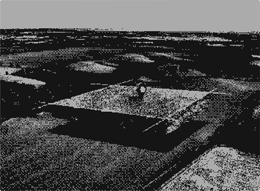
Design, version, and report by regions and catchments without rework.
Reliable geo data means trade area analysis stays consistent across teams, so territory planning decisions are grounded in the same spatial foundation, not rebuilt from scratch each quarter.
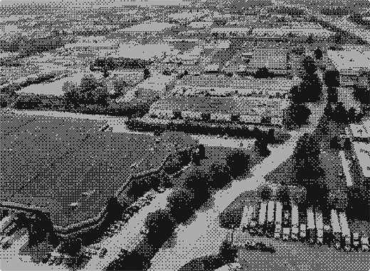
Bring in new datasets (from vendors, partners, or internal teams) using the geo IDs they already ship and crosswalk them instantly.


When campaign boundaries match your reporting boundaries, geo advertising and marketing becomes cleaner to execute, easier to measure, and far simpler to explain to stakeholders.
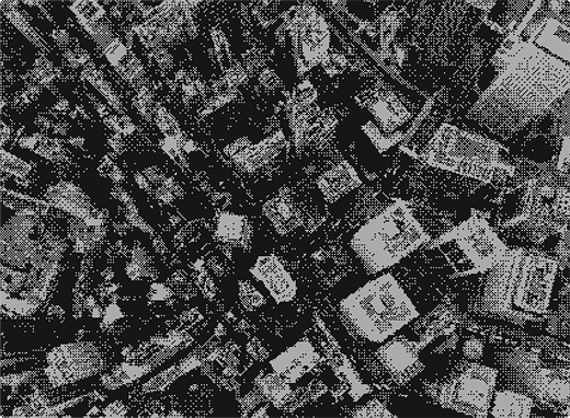
Compare locations consistently using the same hierarchy from building footprint to market rollup.
Spatial data at every level means site selection and network planning decisions are made on a like-for-like basis, not on mismatched geographic definitions across teams.
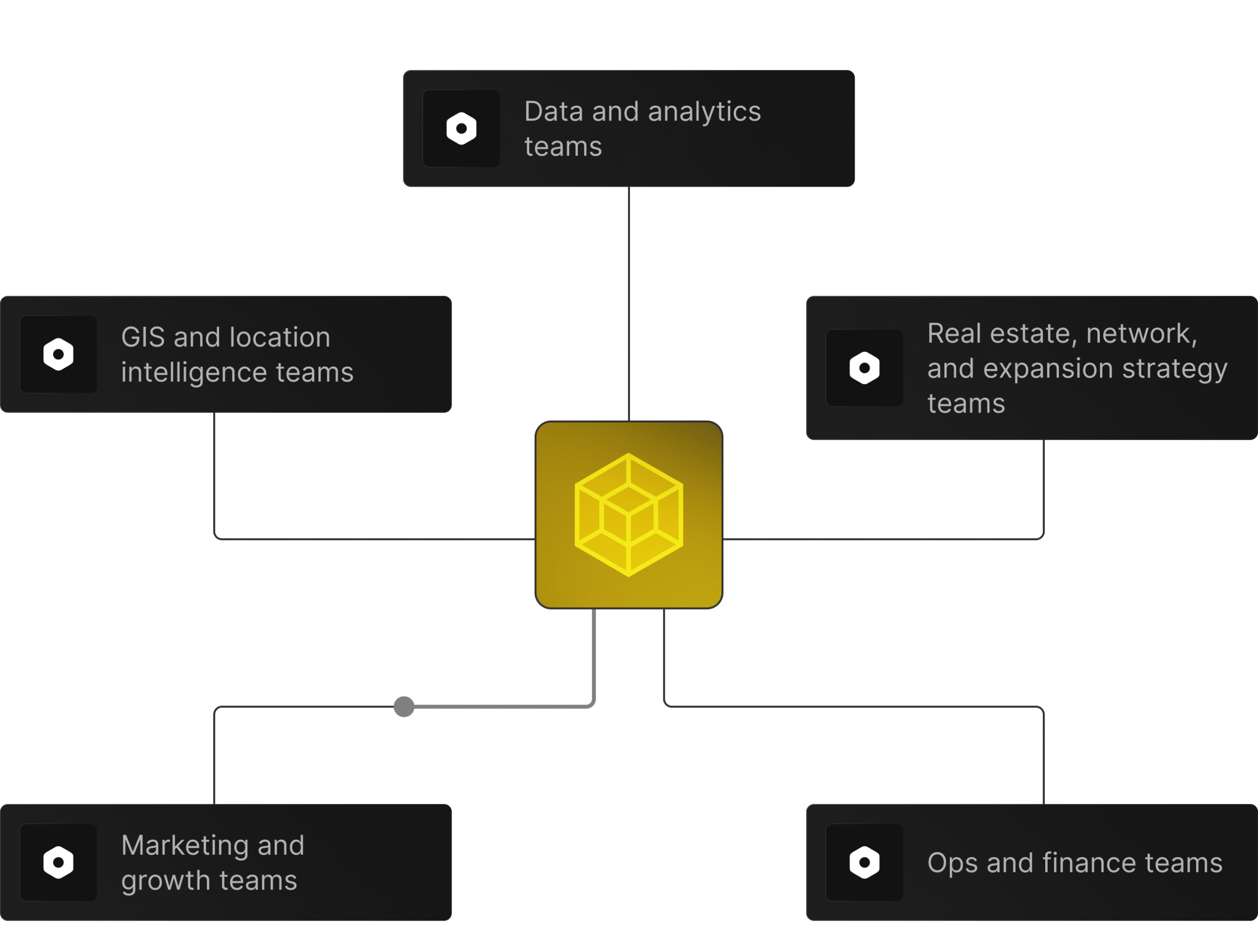
 Data and analytics teams building consistent reporting layersGIS and location intelligence teamsReal estate, network, and expansion strategy teamsMarketing and growth teams doing geo planningOps and finance teams who need comparable market views





See how industry leaders are revolutionizing their strategies with Factori

“Our biggest friction in international analytics was inconsistent geographic boundaries — catchment definitions, trade area polygons, and administrative zones all differed by market and data source.
Factori’s Geo data gave us a standardized geospatial layer that worked consistently across regions. We stopped rebuilding boundary logic for every new market and started focusing on the analysis itself.”
Regions, states, counties, ZIPs, neighborhoods, custom territories—whatever your business runs on.

Align stores, branches, depots, or service areas to Geo so every future project is plug‑and‑play.
Use Geo as the shared foundation for reporting, planning, and modeling across the organization.
Factori Geo Data is a universal geospatial intelligence and crosswalk layer that connects locations, boundaries, trade areas, catchments, parcels, grids, zones, and spatial IDs into one consistent geography system.
Businesses use Geo Data for spatial joins, territory planning, trade area analysis, market rollups, GIS workflows, location enrichment, route analysis, service area planning, and geospatial forecasting.
Geo Data helps teams connect stores, branches, depots, assets, service areas, territories, routes, trade areas, and external signals using consistent geographic logic. It supports spatial joins, market rollups, territory design, and location-based analytics.
Factori builds Geo Data from administrative boundaries, postal geographies, parcels, building footprints, grid systems, geospatial standards, map sources, public datasets, and proprietary spatial processing. These are normalized into joinable geo layers.
Customers can access using any of these options:
(1) Download a 100-row sample CSV for FREE
(2) Connect the MCP server to your AI client and query in natural language
(3) Book a 30-minute discovery call, validate fit against a specific use case.
(4) Factori Platform
Geo Data update cadence depends on the layer type. Administrative boundaries and postal geographies may update periodically, while custom trade areas, spatial joins, grids, and enriched geographies can be refreshed based on customer workflows.
Geo Data is the foundation for joining external signals correctly. It ensures Mobility, Places, People, Events, Property, Market, Retail Sales, Business, Economic, Audiences, and Identity data connect to the right locations, trade areas, and markets.
Products
Solutions By Use Case
By Use Case
By Industry
© 2026 Factori. All rights reserved.







