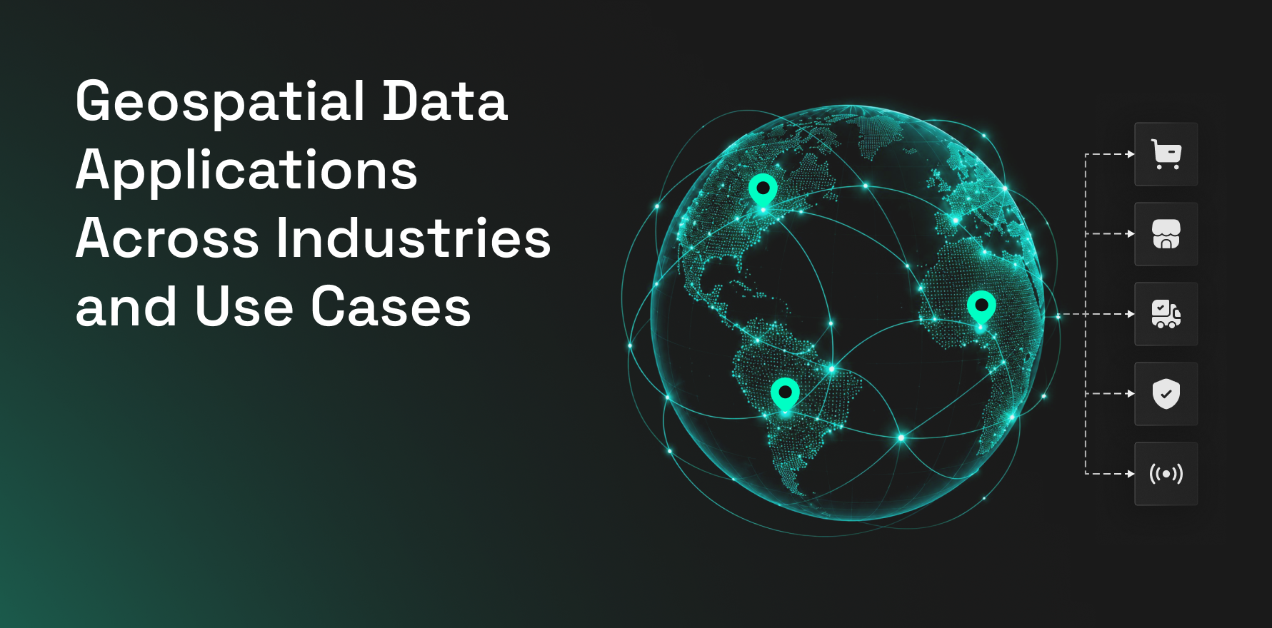
Geospatial data is applied anywhere location changes the outcome of a business, operational, or policy decision. It can help retailers decide where to expand, real estate teams assess assets, logistics teams design networks, insurers model exposure, telecom operators plan infrastructure, and governments allocate services.
The strongest applications combine spatial data with internal business data so teams can understand not just where something is, but how locations interact, how demand moves, and how conditions change over time.
Key Takeaway
- Geospatial data helps businesses make smarter location-based decisions.
- Combining location, mobility, and demographic data reveals deeper market insights.
- Site selection improves with insights into foot traffic, competition, and accessibility.
- Geospatial data supports planning and optimization across multiple industries.
- Real-world data helps organizations identify opportunities, assess risks, and anticipate market changes.
Retail and Store Network Planning
Retailers use geospatial data to decide where to open stores, how existing locations perform, where competitors are concentrated, and which markets still have whitespace.
A site selection model can combine nearby businesses, foot traffic, trade areas, drive times, customer demographics, and existing store locations. This helps teams compare candidates based on actual market context rather than population or rent alone.
Geospatial data is also used for network optimization. Retailers can identify overlapping trade areas, underpenetrated markets, stores serving similar audiences, and locations where demand is growing faster than current coverage.
Factori’s site selection can support candidate comparison, while trade area analysis helps teams understand where visitors and customers are coming from.
Commercial Real Estate
Real estate teams use geospatial data to evaluate properties in the context of the market around them.
Investors can analyze visitor activity, nearby businesses, transport access, competitive supply, property density, demographics, and local development before acquiring an asset.
A shopping center may have stable occupancy, but geospatial signals could show declining visitor activity, more competitor openings, or weakening local business density. Those changes may affect long-term performance before they show up in financial statements.
Geospatial data also supports acquisition screening, tenant strategy, repositioning, development planning, and predictive analytics in real estate.
Trade Area and Catchment Analysis
Trade area analysis is used to understand where demand actually comes from.
Retailers, restaurants, banks, healthcare providers, entertainment venues, and malls can compare visitor origins to understand how far customers travel and which neighborhoods contribute the most demand.
Observed trade areas can reveal patterns that fixed-radius analysis misses. Roads, transit, competitors, physical barriers, and destination strength can all change how far people are willing to travel.
Teams can also compare overlapping trade areas to assess network cannibalization or determine whether a new location reaches a genuinely different market.
Site Selection
Geospatial data is central to site selection because site quality depends on more than the property itself.
Teams can compare candidate locations using:
- Nearby competitors
- Foot traffic
- Audience characteristics
- Business density
- Trade areas
- Drive times
- Existing network overlap
- Accessibility
The most useful analysis ranks locations against the factors historically linked to performance.
A site with the highest foot traffic is not automatically the strongest option. High competition, poor audience fit, or heavy overlap with an existing location can change the decision.
Advertising and Media Planning
Geospatial data helps advertisers connect campaigns with real-world behavior.
Applications include audience targeting, digital out-of-home planning, store-visit analysis, market prioritization, and campaign measurement.
For OOH campaigns, geospatial data can show which screens or billboards sit near high concentrations of relevant audiences or locations.
Mobility patterns can also help teams understand where audiences live, work, shop, and travel, making geographic media planning more precise.
Audience Planning
Geospatial data can be used to size audiences by market, city, county, trade area, or proximity to specific places.
Advertisers can identify where relevant audiences are concentrated and prioritize regions with the highest reachable population.
Location context also helps teams distinguish two markets with similar audience counts but very different commercial environments.
This can support local campaign planning, expansion marketing, retail media, and regional budget allocation.
Supply Chain Optimization
Supply chains are geographic networks made up of factories, warehouses, suppliers, ports, stores, customers, and transport routes.
Geospatial data helps teams compare warehouse locations, identify service gaps, estimate transportation times, and understand disruption exposure.
A company might combine store demand, warehouse capacity, customer locations, and transportation networks to determine whether opening another distribution center would reduce delivery time or cost.
It can also support contingency planning when ports, roads, suppliers, or regional infrastructure are disrupted.
Warehouse and Distribution Planning
Warehouse placement requires balancing demand, transport cost, labor, road access, and inventory coverage.
Geospatial analysis can estimate how many customers or stores can be served within specific travel-time thresholds.
A company might compare three candidate distribution centers based on the percentage of demand reachable within two, four, or six hours.
This turns warehouse planning into a network decision rather than a property-only decision.
Logistics and Last-Mile Delivery
Logistics teams use geospatial data to optimize movement between origins and destinations.
Applications include route planning, delivery-zone design, driver allocation, fleet tracking, depot planning, and service-area optimization.
Last-mile delivery is especially sensitive to geography because small changes in road networks, customer density, congestion, and delivery windows can materially affect cost.
Geospatial models help teams understand where routes become inefficient and when adding another depot may improve service.
Finance and Banking
Banks use geospatial data for branch planning, ATM deployment, market coverage, merchant analysis, and customer acquisition.
A bank evaluating a new branch can compare customer density, nearby businesses, competitor branches, population, mobility, and local economic activity.
Financial institutions can also use geographic signals in investment research.
Changes in foot traffic, business density, store openings, or local economic activity can provide additional context around companies, sectors, or markets.
Insurance and Risk Modeling
Insurance relies heavily on geographic exposure.
Properties, vehicles, infrastructure, and insured assets can be analyzed against flood zones, wildfire risk, hurricanes, storms, traffic patterns, crime, and other hazards.
Two properties located only a short distance apart may carry very different risk.
Geospatial models help insurers assess exposure at the asset level, aggregate risk across portfolios, and respond more quickly when disasters occur.
Telecommunications
Telecom operators use geospatial data to decide where infrastructure should be added.
Applications include cell-tower placement, fiber planning, coverage analysis, network expansion, capacity planning, and outage management.
Population density alone is not enough.
Operators can combine building density, mobility, usage patterns, terrain, and existing network infrastructure to identify where demand is underserved.
The International Telecommunication Union highlights geospatial information as an important part of connectivity and infrastructure planning.
Transportation Planning
Transportation agencies use geospatial data to understand how people and vehicles move through road, rail, transit, cycling, and pedestrian networks.
Applications include congestion analysis, station placement, travel-demand modeling, road planning, transit optimization, and infrastructure investment.
Mobility patterns can reveal where actual movement differs from planned infrastructure.
This helps agencies identify overloaded corridors, underserved neighborhoods, and locations where new infrastructure may have the greatest impact.
Urban Planning
Cities use geospatial data to coordinate land use, housing, roads, utilities, public transit, schools, hospitals, parks, and commercial development.
Planners can analyze where population growth is occurring and whether existing infrastructure can support it.
A city expecting rapid residential development in one district may use geospatial analysis to estimate future demand for schools, roads, public transport, and healthcare facilities.
The U.S. Federal Geographic Data Committee includes infrastructure, transportation, disaster response, and public-service delivery among major geospatial applications.
Healthcare Facility Planning
Healthcare providers use geospatial data to determine where hospitals, clinics, diagnostic centers, and emergency services are needed.
Teams can compare population, travel time, existing facilities, demand, and service gaps.
For example, a health network may identify neighborhoods where residents must travel more than 30 minutes to reach urgent care.
That analysis can help prioritize new facilities or mobile services.
Public Health
Public-health agencies can use geospatial data to monitor how diseases, environmental risks, and healthcare access vary geographically.
Case concentration, population density, transportation access, and healthcare capacity can be analyzed together.
During outbreaks or emergencies, spatial analysis can support resource deployment, testing locations, vaccination planning, and hospital-capacity management.
Agriculture and Precision Farming
Farmers use geospatial data to understand variations within fields instead of treating the entire farm as one uniform area.
Satellite imagery, soil data, GPS, weather, elevation, and sensors can help identify crop stress, irrigation needs, soil differences, and pest risk.
This supports precision irrigation, fertilizer application, crop monitoring, and yield forecasting.
The result is more targeted use of resources.
Environmental Monitoring
Environmental teams use geospatial data to monitor forests, water bodies, wetlands, coastlines, wildlife habitats, pollution, and land-use change.
Satellite imagery allows analysts to compare the same location over time.
This can reveal deforestation, urban expansion, shoreline changes, vegetation loss, or changes in water levels.
Governments and conservation organizations can then prioritize intervention based on where change is happening fastest.
Climate Risk Analysis
Businesses and governments use geospatial data to understand physical climate exposure.
Assets can be mapped against flood probability, extreme heat, wildfire, drought, sea-level rise, and other climate risks.
A real estate portfolio may look diversified financially but still have significant geographic concentration in areas exposed to the same hazard.
Spatial analysis makes that exposure visible.
Disaster Response
Emergency teams use geospatial data to understand where hazards are occurring, which populations are exposed, and how resources can reach affected areas.
Applications include flood mapping, wildfire monitoring, hurricane tracking, evacuation planning, and emergency response.
Satellite imagery, weather feeds, road closures, population data, and infrastructure maps can be combined to create a real-time operational view.
Energy and Utilities
Utilities manage infrastructure spread across large geographic areas.
Geospatial data is used to map power lines, substations, pipelines, water networks, meters, and service areas.
Applications include network expansion, asset maintenance, outage response, vegetation management, and infrastructure-risk analysis.
A utility can prioritize inspections based on asset age, location, surrounding vegetation, and environmental exposure.
Renewable Energy Development
Solar and wind development depends heavily on location.
Developers can compare solar exposure, wind speed, terrain, grid access, land availability, environmental constraints, and road access.
A site with strong wind potential may still be unattractive if transmission infrastructure is too far away.
Geospatial analysis helps developers evaluate those trade-offs before capital is committed.
Oil, Gas, and Mining
Energy and mining companies use geospatial data for exploration, lease management, pipeline planning, environmental monitoring, and operational safety.
Remote sensing and geological layers can narrow exploration areas before field work begins.
Pipeline routes can also be optimized around terrain, population centers, environmental restrictions, and infrastructure.
Manufacturing and Facility Location
Manufacturers use geospatial analysis to choose factories, plants, and regional facilities.
A location decision may depend on supplier proximity, labor availability, customer markets, ports, highways, utilities, incentives, and real estate.
A cheaper property may produce higher long-term operating costs if suppliers or customers are far away.
Geospatial analysis brings those factors into one location decision.
Tourism and Hospitality
Hotels and tourism organizations use geospatial data to understand visitor movement and destination demand.
Hotel operators can compare tourist activity, business districts, attractions, restaurants, transport, events, and competitor properties.
Tourism agencies can also use movement data to understand which destinations attract visitors, where congestion occurs, and whether travelers are exploring secondary areas.
Restaurants and QSR
Restaurant teams use geospatial data for site selection, competitor analysis, daypart demand, drive-time analysis, local marketing, and network planning.
Nearby businesses, offices, schools, retail centers, and residential areas can influence restaurant performance differently throughout the day.
Factori Mobility Data can help teams analyze movement and visitation, while Places Data adds context around restaurants, competitors, and surrounding demand drivers.
Shopping Centers and Malls
Mall operators use geospatial data to understand trade areas, visitor origins, competing centers, nearby businesses, and local market changes.
This complements physical entrance counters.
For example, two malls may report similar foot traffic trends while one is losing visitors from high-value residential areas and the other is expanding its trade area.
That difference can influence leasing, tenant mix, media planning, and investment decisions.
Tenant Mix Planning
Shopping centers and mixed-use developments can use geospatial data to understand which categories are underrepresented and which businesses attract overlapping audiences.
Nearby business density, visitor movement, customer origins, and cross-shopping patterns can help teams evaluate tenant opportunities.
A category with limited local supply but strong audience demand may deserve further leasing analysis.
Public Safety and Emergency Services
Emergency services use spatial analysis to determine where incidents occur and whether resources can respond quickly enough.
Applications include ambulance coverage, fire-station planning, emergency routing, incident analysis, and response-time optimization.
A city can map incidents against station locations and road networks to identify areas consistently receiving slower response.
Autonomous Vehicles and Navigation
Autonomous vehicles depend on accurate representations of roads and surroundings.
Geospatial data can include lane geometry, road signs, intersections, speed limits, elevation, construction, and obstacles.
The same principle applies to delivery robots and drones.
Their ability to navigate depends on knowing both where they are and what exists around them.
Maritime and Ports
Ports and shipping companies use geospatial data for vessel tracking, route planning, congestion monitoring, navigation, and port operations.
Weather, water depth, infrastructure, shipping lanes, and cargo movement can all be analyzed spatially.
This is particularly important in ports where delays and bottlenecks can affect entire supply chains.
Construction and Infrastructure
Construction teams use geospatial data from feasibility through operations.
Before construction, teams can analyze terrain, land ownership, utilities, accessibility, environmental restrictions, and surrounding development.
During construction, drones and imagery can monitor site progress.
After completion, the same spatial systems can support maintenance and asset management.
Government Service Delivery
Governments use geospatial data to determine where public services should be located.
Schools, hospitals, libraries, fire stations, transit, parks, and infrastructure can be compared with population and demand.
A fast-growing neighborhood may need additional school capacity even if current enrollment looks manageable.
Spatial analysis helps public agencies plan ahead rather than react after demand exceeds capacity.
Population and Demographic Analysis
Organizations use geospatial data to compare demographic and household characteristics across locations.
Age, household structure, income, employment, and population density can be analyzed by neighborhood, trade area, market, or region.
Factori People Data can add audience context to location and movement analysis.
This supports market planning, audience analysis, public policy, retail expansion, and service allocation.
Scientific Research and Earth Observation
Scientists use geospatial data across climate science, geology, ecology, hydrology, archaeology, oceanography, and population research.
Satellite imagery and remote sensing allow researchers to repeatedly observe large areas and measure change.
This creates long-term spatial records of how physical and human systems evolve.
How Factori Supports Geospatial Data Applications
Factori provides a real-world data layer that helps organizations connect places with movement, people, businesses, property, events, and market conditions.
Mobility Data supports visitation, movement, visitor origins, dwell patterns, and trade-area analysis. Places Data provides context around businesses, competitors, anchors, amenities, and other physical locations.
Factori also provides People, Property, Business, Economic, Events, Audience, Identity, and other real-world datasets.
Places Data covers 200M+ POIs across 6,000+ categories, while Factori processes 90B+ daily mobility and location signals.
These datasets can support use cases across retail expansion, real estate, advertising, supply chains, market planning, demand forecasting, audience analysis, and enterprise AI.
Conclusion
Geospatial data is most valuable when location changes the decision.
A retailer uses it to choose markets. A real estate investor evaluates what surrounds an asset. A logistics company redesigns a distribution network. A telecom operator finds coverage gaps. An insurer measures geographic risk. A government decides where new services are needed.
The specific datasets vary, but the decision framework stays consistent.
Use geography to understand where demand exists, how locations interact, what surrounds an asset or market, and how those patterns change over time.