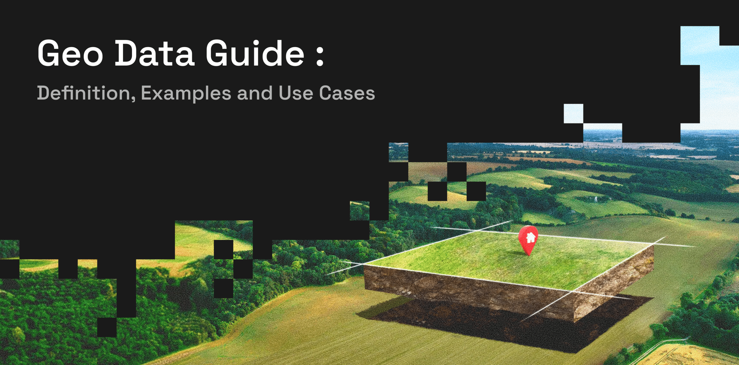
Geo data connects business information with real-world locations.
It helps teams understand where customers, stores, assets, competitors, and market activity are located. It can also show how places relate to each other and how activity changes across areas over time.
When combined with places, mobility, audience, and consumer data, geo data can support site selection, market analysis, targeting, data enrichment, and forecasting.
What Is Geo Data?
If you are asking what is geo data, it is information connected to a geographic location.
A practical geographical data definition is information that shows where something is, what exists around it, and how it relates to other places. To define geographical data simply, it adds location context to a person, place, asset, event, or business activity.
Geo data may include coordinates, addresses, boundaries, store locations, movement patterns, trade areas, and local market attributes.
People may also search for what is geographical data, what is geographic data, what is geography data, what is data in geography, or what is geo information. In business use, these terms usually refer to the broad category of locational data tied to places or areas.
For example, a retail location may have an address, latitude and longitude, building boundary, nearby roads, competing stores, and visitor trends. Together, these signals provide more information than an address alone.
Geo Data vs. Geographic, Geolocation, and Geospatial Data
These terms are related, but they are not always used in the same way.
| Term | Meaning | Example |
|---|---|---|
| Geo data | Broad information connected to geography or place | Coordinates, boundaries, POIs, visits |
| Geographic or geographical data | Information linked to an area or physical location | Neighborhood attributes, store locations |
| Geolocation data | Information used to identify where something is located | A branch, asset, delivery point, or device location |
| GIS data | Spatial layers used for mapping and geographic analysis | Points, lines, polygons, and boundaries |
| Geospatial data | Data used to study location and relationships between places | Distance, coverage, catchments, and movement |
Location data often focuses on identifying where something is.
Geospatial data adds relationships between places. It can show distance, overlap, accessibility, coverage, and movement between geographic areas.
Geo data is the broader term. It can include geographic data, geolocation data, GIS data, places, movement, visits, and area-level attributes.
Common Types and Examples of Geospatial Data
Examples of geospatial data include store coordinates, building boundaries, road networks, trade areas, visitor origins, movement flows, and nearby businesses.
These spatial data examples answer different business questions.
| Type of Geo Data | What It Shows | Common Business Use |
|---|---|---|
| Places data | Stores, restaurants, offices, venues, and other POIs | Competitor mapping and market analysis |
| Mobility data | How people move between locations | Foot traffic, trade areas, and demand analysis |
| GIS and boundary data | Areas, routes, polygons, and geographic zones | Coverage and accessibility analysis |
| Geographic context data | Nearby businesses and local market activity | Site evaluation and territory planning |
| Audience and consumer attributes | Aggregated characteristics connected to places | Targeting and market profiling |
Places Data
Places Data describes physical locations such as stores, restaurants, hotels, offices, buildings, venues, and bank branches.
It helps businesses understand what exists within a market. Teams can use it to map competitors, identify commercial clusters, measure business density, and plan territories.
Mobility Data
Mobility data shows how people move across places, corridors, and geographic areas.
It can include footfall patterns, visitor origins, travel behavior, peak activity times, and movement changes. These signals help businesses compare locations, understand trade areas, and identify where activity is rising or falling.
GIS and Boundary Data
GIS data can include points, lines, polygons, routes, administrative areas, and custom trade areas.
It helps teams move beyond a single point on a map. For example, a business can compare the population, activity, competition, and customer reach within several candidate catchments.
Audience and Consumer Attributes
Audience data and consumer attributes add context about the people connected to an area.
When used in aggregated and privacy-safe ways, these signals can help businesses understand how customer groups differ between markets and where relevant audiences are more concentrated.
From Geospatial Data Collection to Geo Analytics
Geo data becomes useful only after it has been collected, organized, analyzed, and connected to a business decision.
Geospatial Data Collection
Geospatial data collection brings together addresses, coordinates, boundaries, place records, movement patterns, and area attributes.
Common geospatial technology examples include mapping platforms, GIS tools, location databases, mobility datasets, and satellite-based positioning systems.
The right collection method depends on the question. A site selection team may need POIs, trade areas, and mobility data. A logistics team may need routes, delivery points, and transport access.
Geospatial Data Management
Geospatial data management keeps location records accurate, current, and consistent.
Teams may need to remove duplicate POIs, standardize addresses, update closed businesses, align categories, and match records across systems.
Strong management is important because location errors can lead to incorrect market comparisons, trade areas, or forecasts.
Spatial Data Analysis
Spatial data analysis studies patterns and relationships between locations.
Spatial data analysis in GIS can help teams calculate distances, compare catchments, identify clusters, measure overlap, and study accessibility.
Geospatial data analysis can answer questions such as:
- Which stores serve the same customers?
- Which areas have strong demand but limited competition?
- How far do visitors travel?
- Which markets have weak coverage?
Geospatial Data Visualization and Analytics
Geospatial data visualization turns location information into maps, layers, heat maps, and trade areas.
Geo analytics, geo data analytics, and geospatial data analytics go beyond displaying points on a map. They help teams compare markets, detect patterns, and connect location activity with business results.
Geospatial Data Applications
Site Selection and Expansion
Geo data helps businesses compare potential locations before investing.
Retailers, banks, restaurants, and hospitality companies can study foot traffic, competitors, surrounding businesses, customer fit, accessibility, and trade areas.
This helps teams assess whether a location has enough relevant demand.
Audience Targeting and Media Planning
Marketers use geo data to understand where audiences live, work, shop, travel, and spend time.
This can improve digital, DOOH, retail media, and omnichannel planning. It can also support campaign measurement by connecting exposure with changes in visits or local activity.
Retail Performance and Trade Area Analysis
Retailers use geographical data to understand where visits come from and how stores compare.
Geo information can reveal strong trade areas, coverage gaps, competitive pressure, and changes in customer movement.
For example, a decline in visits may be linked to a new competitor, weaker area activity, or changes in local travel patterns.
Data Enrichment
Geo data can enrich customer, store, transaction, and market records.
A financial services company may add nearby businesses, movement patterns, and local audience attributes to branch data. A retailer may enrich store records with trade area, competitor, and foot traffic information.
Forecasting and Predictive Analytics
Geo data can strengthen forecasting by adding real-world context.
Movement, place activity, audience concentration, and local market signals can help explain differences in demand across stores and regions.
These geospatial data applications help forecasts reflect how markets work rather than relying only on historical averages.
Challenges of Using Geo Data
Geo data can be difficult to use when records are incomplete, duplicated, old, or inconsistent.
Place names and categories may differ across systems. Addresses may be outdated. Boundaries may not align with the area being studied.
Integration is another challenge. Geo data often needs to connect with customer, sales, campaign, store, and forecasting data.
Privacy also matters. Movement and audience data should be handled through aggregated, governed, and privacy-aware methods rather than individual-level tracking.
Businesses need accurate and analysis-ready data that connects cleanly with existing systems.
How Factori Helps Businesses Use Geo Data
Factori helps businesses turn geo data into practical location intelligence.
Through Factori’s datasets, platform, APIs, and MCP, teams can access mobility, visit intelligence, POI, people, consumer, audience, identity, web stream, cross-device, and high-fidelity data.
These signals can support data enrichment, audience targeting, media planning, site selection, retail optimization, market intelligence, financial services strategy, and predictive analytics.
Factori is designed to help teams connect people, places, movement, and market activity through privacy-aware and scalable workflows.
Conclusion
Geo data is more than information shown on a map.
It helps businesses understand where activity happens, how locations relate, which markets have stronger demand, and how behavior changes over time.
When geographical data is accurate, current, privacy-safe, and connected to business workflows, it can improve planning, targeting, forecasting, and market analysis.
FAQs About Geo Data
What Is Geolocation Data?
Geolocation data is information that identifies where a place, asset, delivery point, branch, or other entity is located.
It is one part of the broader geo data category.
What Is Data in Geography?
Data in geography is information connected to physical places, areas, boundaries, movement, and relationships between locations.
It is also commonly described as geography data, geographic data, or geo information.
What Is a Geospatial Data Example?
A geospatial data example could be a store location combined with its building boundary, visitor origins, nearby competitors, and trade area.
This gives the business both the location and the context around it.
What Is Geospatial Analytics?
Geospatial analytics is the process of analyzing location-based information to identify patterns, relationships, differences, and opportunities across areas.
It may include distance analysis, trade areas, clustering, movement analysis, and market comparison.
How Should Businesses Choose a Geo Data Provider?
Businesses should evaluate accuracy, coverage, freshness, privacy practices, data structure, and integration options.
The provider should also offer data that directly supports the business use case, whether that is site selection, targeting, enrichment, market analysis, or forecasting.