
In today’s hyperconnected world, data has become essential infrastructure. Every movement, every trip, and every city interaction can generate information that helps shape smarter and more sustainable environments. The convergence of big data and mobility is transforming how people travel and how cities adapt to the needs of modern life.
What Is Big Data and Mobility?
Big data and mobility refer to large volumes of location-based and movement-related information captured from sources such as GPS devices, smartphones, connected vehicles, and IoT sensors. This data reveals how people move, from daily commutes to tourism flows, and creates a more real-time view of activity across cities and regions.
By analyzing these mobility patterns, organizations can better understand behavior, forecast demand, and make data-driven decisions that improve both travel experiences and urban efficiency.
Read About: What is Mobility Data?
How Big Data and Mobility Are Transforming Travel
From trip planning to fleet operations, big data and mobility are changing travel in practical and measurable ways:
- Personalized travel experiences: Mobility insights help travel apps and platforms recommend routes, modes of transport, and destinations that are more relevant to user preferences.
- Smarter transportation systems: Transit agencies can monitor congestion, optimize schedules, and improve public transport reliability using real-time movement data.
- Tourism analytics: By tracking visitor flows, cities and tourism boards can identify hotspots, manage crowding, and design more sustainable tourism strategies.
Together, these applications make travel more informed, efficient, and user-centric.
Read About: How to Use Mobility Data to Drive Better Planning & Discovery in the Travel Industry
How Big Data and Mobility Support Smarter Cities
Cities are living ecosystems, and big data and mobility form an important part of their digital backbone. Urban planners and policymakers now use mobility data to design cities that adapt more dynamically to how residents and visitors actually move.
Key applications include:
- Traffic and infrastructure planning: Data-driven insights can guide decisions on where to expand roads, add bike lanes, or introduce EV charging stations.
- Sustainability and emissions tracking: Understanding movement patterns helps cities measure transport-related emissions and identify opportunities to reduce them.
- Emergency response optimization: Mobility data can support faster response planning during crises by identifying congestion patterns and helping improve route planning.
When cities understand how people and vehicles move, they can allocate resources more efficiently. That can contribute to safer streets, shorter commutes, and a better quality of life.
Travel Use Cases vs Smart City Use Cases
While the same mobility data can support both travel and city planning, the goals are often different:
- Travel use cases focus on improving route discovery, trip planning, tourism insights, and service personalization.
- Smart city use cases focus on infrastructure planning, sustainability, congestion management, and public safety.
This is what makes mobility data especially powerful: the same movement patterns can inform both consumer-facing travel experiences and long-term urban decision-making.
The Role of Data Platforms
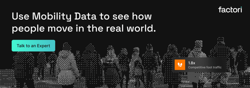
To make sense of the complexity of mobility, data platforms like Factori simplify access to accurate, high-resolution datasets on people and places. These platforms help businesses, researchers, and governments explore mobility patterns, analyze trends, and integrate insights into decision-making workflows.
By combining big data and mobility analytics, these platforms turn raw information into actionable intelligence. That can support smarter tourism strategies, better transport planning, and stronger urban analysis.
Just as importantly, mobility insights are most useful when they are handled responsibly. Platforms should support privacy-aware, aggregated, and well-governed approaches so organizations can work with movement data more confidently and appropriately.
A Simple Example
A tourism board may use mobility data to understand which parts of a city attract the highest visitor concentration during weekends, while the same city’s planners may use similar patterns to improve transport access and manage congestion around those zones. This shows how one mobility signal can support both better travel experiences and better city operations.
The Road Ahead
As digital ecosystems expand, the combination of big data and mobility will continue to shape the future of smart cities and intelligent travel systems. The opportunity lies in making data easier to integrate, interpret, and apply so that each signal, location, and movement can contribute to more efficient, sustainable, and connected urban life.
Start exploring the potential of big data and mobility with Factori, where data meets discovery.
About Factori
Factori is a partner-powered real-world data platform offering 13 standardized, enterprise-ready datasets including:
Mobility | Places | People | Audiences | Identity | Retail | Market | Economic | Events | Property | Business I Geo.
Each dataset is governed, privacy-safe, and designed to join cleanly with your existing data stack, whether you’re working in SQL, a data warehouse, a BI tool, or an ML pipeline. No black boxes, no mystery sources, just real-world signals about how people move, shop, work, and live, delivered the way your team works: via API, raw data, app, MCPs, or agentic workflows. Explore datasets suitable for your use case and available for your market.
Talk to an Expert
FAQ
What is big data and mobility?
Big data and mobility refer to large volumes of location-based and movement-related information collected from sources such as smartphones, GPS devices, connected vehicles, and IoT systems. This data helps organizations understand how people and vehicles move across cities and regions.
Why is mobility data important for travel?
Mobility data helps improve travel by supporting route recommendations, transport planning, tourism analysis, and better service design. It gives travel platforms and operators a clearer view of how people move in real-world environments.
How does mobility data help smart cities?
Smart cities use mobility data to improve infrastructure planning, reduce congestion, track sustainability goals, and strengthen emergency response planning. It helps planners make decisions based on real movement patterns rather than assumptions alone.
Who uses big data and mobility insights?
Businesses, tourism boards, transit agencies, urban planners, researchers, and governments all use mobility insights. The same data can support both operational decisions and long-term planning.
How should mobility data be used responsibly?
Mobility data should be used with privacy-aware, aggregated, and well-governed practices. Responsible use helps organizations generate useful insights while maintaining trust and reducing misuse risk.